


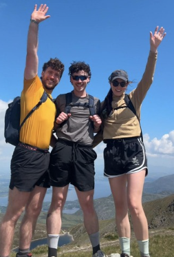
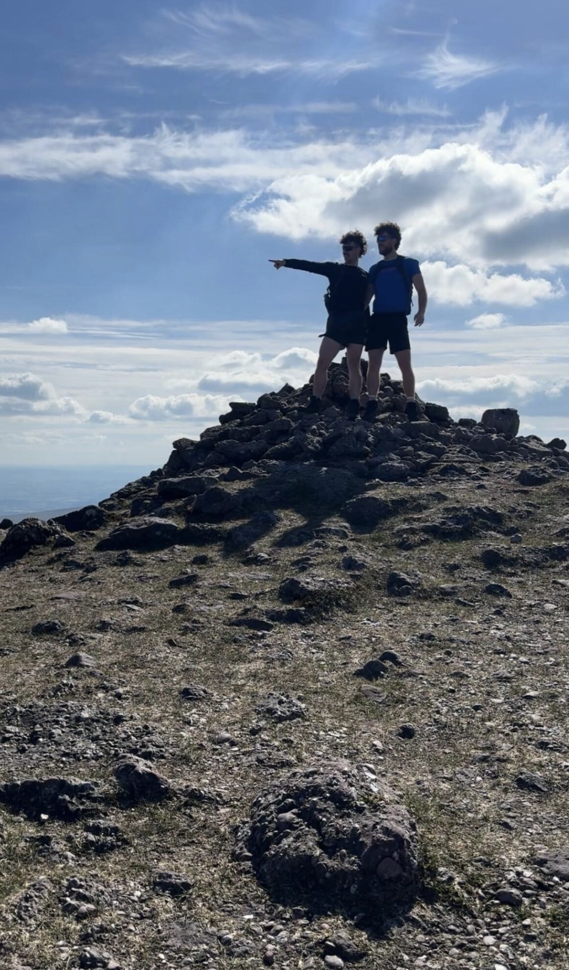


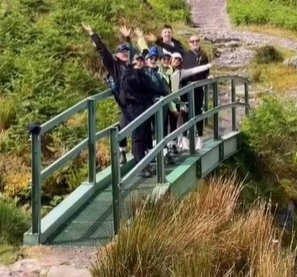
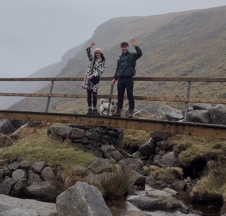

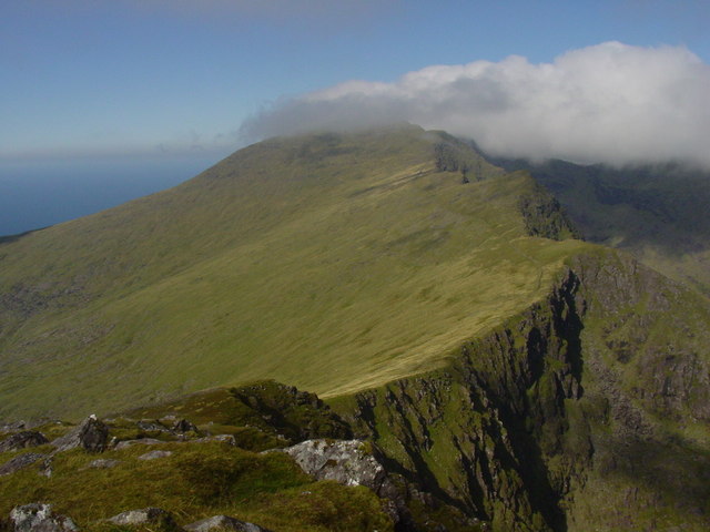
Carrantuohill (1,038.6m)
Carrauntoohil is Ireland’s highest mountain, standing at 1,038.6 metres. It is located in MacGillycuddy’s Reeks in County Kerry. The summit is marked by a large iron cross, and popular ascent routes include the Devil’s Ladder and Brother O’Shea’s Gully.
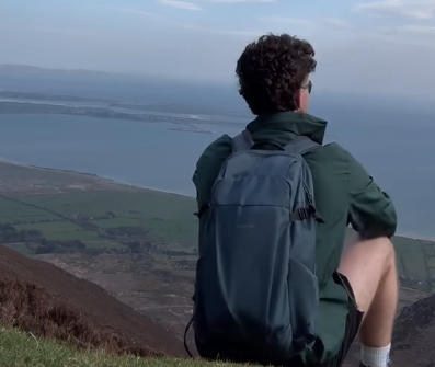
Brandon (952m)
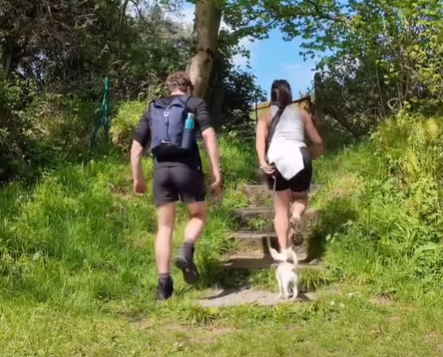
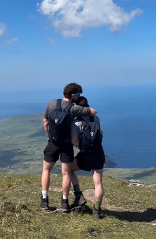
Brandon Mountain is the highest peak in the Dingle Peninsula and the second-highest outside of MacGillycuddy’s Reeks. It is part of a stunning ridge that overlooks the Atlantic and is associated with Saint Brendan the Navigator, who is said to have climbed it before his legendary voyage. The Pilgrim’s Path is the most well-known route to the summit.
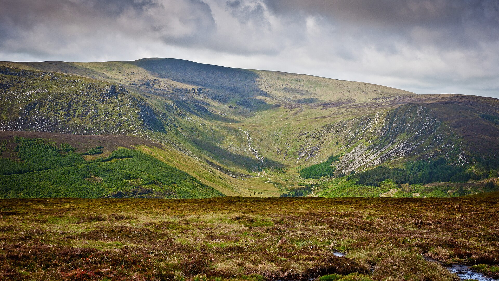
Log na Coille (925m)
Lugnaquilla is the highest mountain in Leinster and the tallest peak outside of Kerry. It is a broad, flat-topped mountain in the Wicklow Mountains, offering incredible views of the Irish Sea and central Ireland. Popular routes to the summit include the Glenmalure, Camara Hill, and Fraughan Rock Glen approaches.
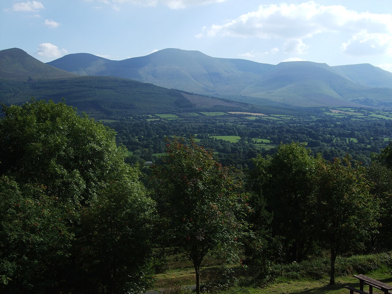
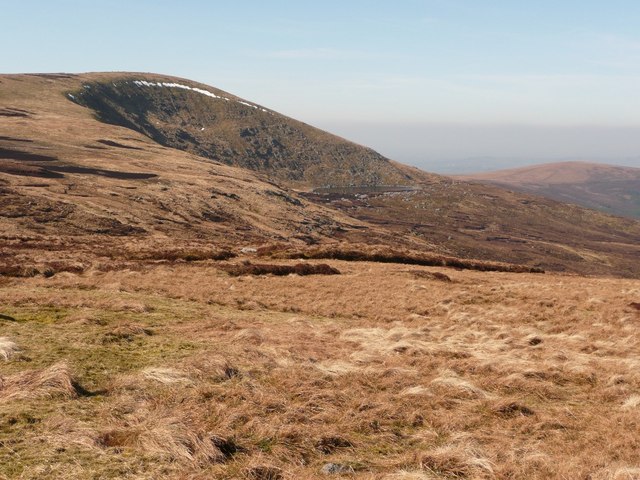
Galtymore (919m)
Galtymore is the highest mountain in the Galtee range and the tallest inland peak in Ireland. It stands on the border between Tipperary and Limerick. Known for its dramatic cliffs and Lough Curra at its base, Galtymore is a popular climb, often approached from the Black Road route.
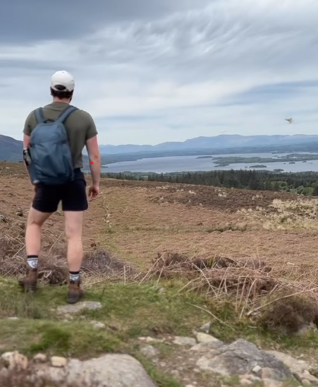
Baurtregaum (851m)
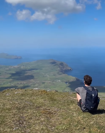
Baurtregaum is one of the tallest peaks in the Slieve Mish Mountains, located on the Dingle Peninsula in County Kerry. It is overshadowed by Brandon but offers a remote and scenic hike with views stretching over Tralee Bay and the Atlantic Ocean.
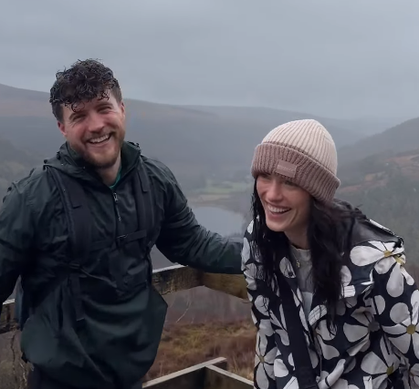
Mullaghcleevaun (849m)
Mullaghcleevaun is the second-highest peak in the Wicklow Mountains and features a broad, boggy summit. It offers sweeping views over Lough Dan, Blessington Lakes, and Dublin City on clear days. The most common route begins from the Sally Gap.
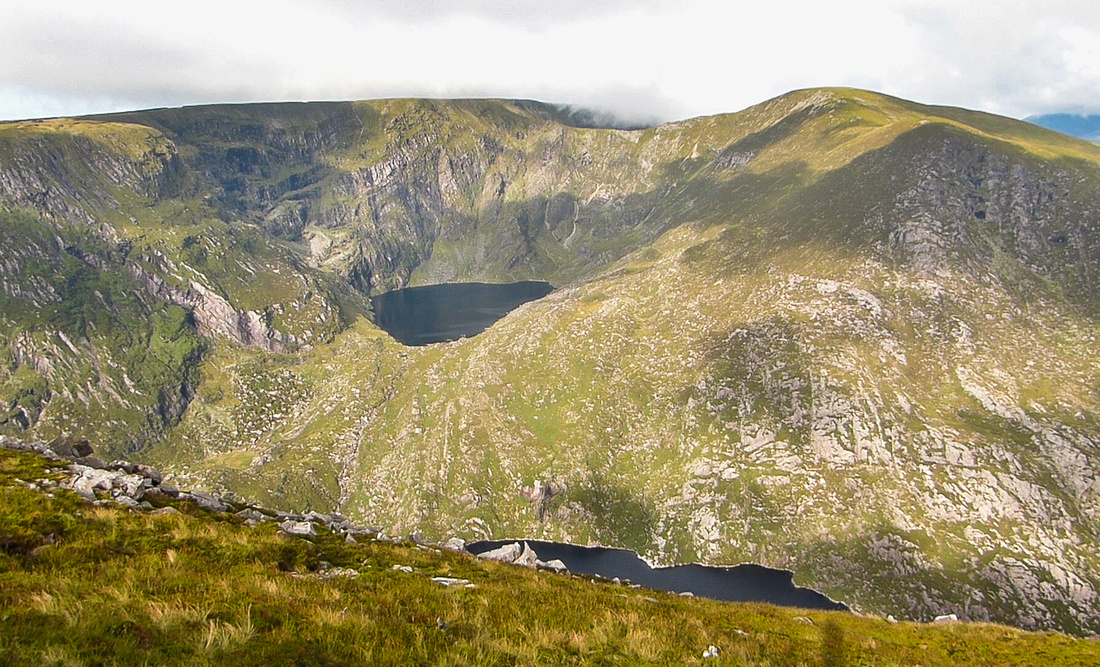
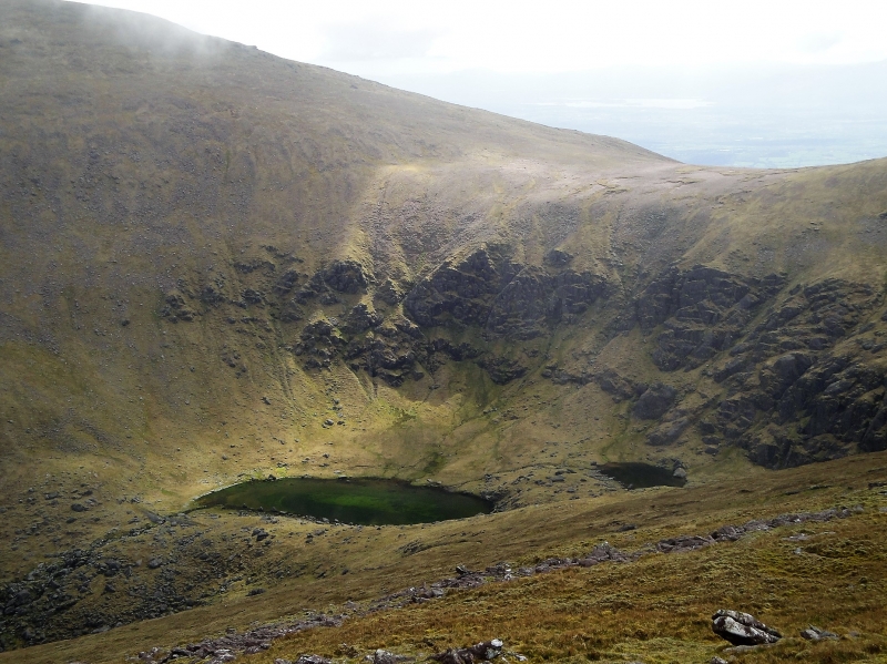
Mangerton (838m)
Mangerton is located just outside Killarney and is famous for its Horseshoe Route, which passes The Devil’s Punchbowl, a stunning glacial lake near the summit. It is a relatively straightforward climb but provides spectacular views over Killarney National Park, Lough Leane, and the MacGillycuddy’s Reeks.